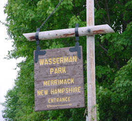
Wasserman Conservation Area
Downloads:
*Note: The trail map is designed to be a tri- fold. This means you should try to print the map double sided and then fold it so that the map is in the middle and each side is folded in over the map. Follow the link to see what a tri-fold looks like.
Click to see more photos of Wasserman Conservation Area
Description:
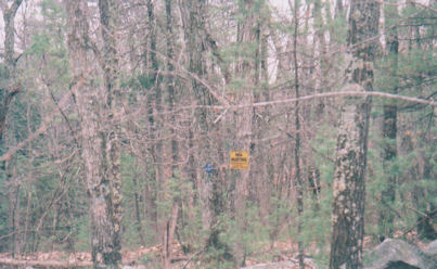
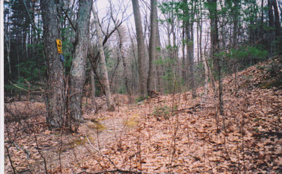
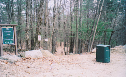
Wasserman Conservation Area consists of 88-acres of forested land purchased in 1989 with funding provided by the New Hampshire Land Conservation Investment Program (LCIP) for conservation purposes as set forth in New Hampshire RSA 221-A. The Merrimack Conservation Commission (MCC) manages the Conservation Area, with oversite by the NH Office of State Planning. Trailhead parking is available on the abutting Wasserman Park, managed by the Parks & Recreation Department. The Quarry Trail leaves the parking area in the vicinity of the Parks & Recreation Office and winds through the woods to an area where granite was quarried, probably for many of the homes in the area, before crossing Naticook Road and entering the Horse Hill Nature Preserve trail system.
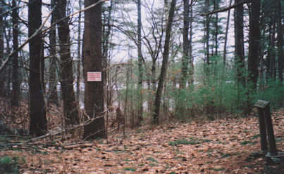
The Conservation Area includes 900 feet of shoreline on Naticook Lake and encompasses Naticook Brook as it flows from the lake into Greens Pond. A small dam controls the water level of the lake and is privately owned. The entire area is important to the quality of Merrimack water as the town maintains two drinking-water wells in the downstream area.
In 2011 the town purchased 27 acres of land abutting the Conservation Area to the northeast along Greens Pond Road. The acquisition extended the protected area and provided the opportunity to extend trails from Wasserman Conservation Area out to Greens Pond Road and over to Gilmore Hill Memorial Forest and other trails in the area. The initial trail to Greens Pond Road was completed recently.
Unique/Historic Features:
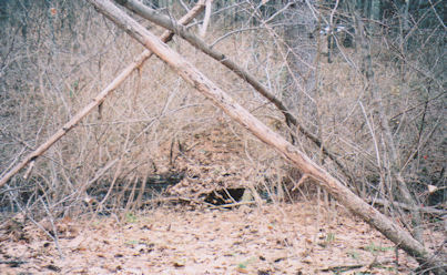
An archaeological survey in 1992 produced evidence that native Americans were living in the surrounding watershed area in the mid-1600's to as far back as 5,000 years. The Abenaki and Algonquin people were the principle inhabitants when the first English settlers arrived in the late 1600's. There are visible stone walls indicating both grazing and crop planting along with a small quarry in the bedrock exposures. One of the early settlers was the Spaulding [Spalding} family.
Helpful Info
Address:
116 Naticook Road adjoining Wasserman Park and sharing the Wasserman Park parking areas; abuts Greens Pond Road with minimal parking; Quarry Trail crosses Naticook Road and continues into Horse Hill Nature Preserve along a marked trail with minimal parking.
GPS:
42° 49'25.58" -71° 31'45.59"
Permitted Activities:
Hiking, biking, cross country skiing, and snowshoeing.
Prohibited Activities:
ATV'S, snowmobiling, fires, camping, Class 1, 2, & 3 E-Bikes, anything motorized, hunting, fishing, discharge of air-powered or spring-powered guns, any type of bow, or any firearm for the purpose of target shooting.
Hours of Use:
There are no hours restrictions on this property...But see below. This will impact where you can park if you choose to use the Park's parking lot.
NOTE: The abutting Wasserman Park is subject to different restrictions as set forth in the town Administrative Code Chapter 142, in particular, activity is not permitted from 1/2 hour after sunset to 1/2 hour before sunrise.